
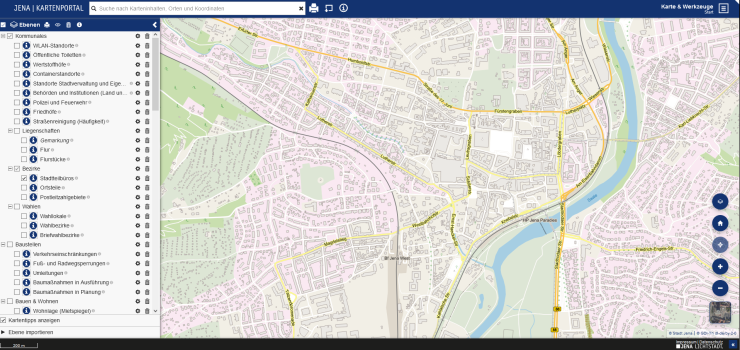
Jena map portal extensively updated
The Jena map portal has been extensively updated. The biggest change concerns the scope and sorting of the geodata. Data that was previously organized alphabetically is now grouped thematically. Under topics such as "Municipal", "Construction sites" or "Leisure, culture & sport", you will now find the appropriate data pre-sorted, which makes it much easier to find your way around the portal.
Lots of additional information
Extensive information has been added to the existing geodata. For example, information on parcel boundaries and designations, current and planned construction measures and a tree register with information on tree planting and felling have been integrated. In addition, historical aerial photographs of the city area dating back to 1943 can now be called up, which illustrates the development of the city.
On a technical level, the search for streets and addresses has been optimized, the legend for displayed map elements has been expanded, and elevation profiles and extensive drawing functions for creating your own annotations on the map have been added.
The "Help" section explaining the portal's functions has also been adapted.
Central map application of the city administration
The Jena map portal is the central map application of the city administration and is primarily used to make the city's geodata visible and usable.
Das Kartenportal Jena
© Stadt Jena